Advertisements
Advertisements
प्रश्न
Mark the following in the outline map of India. Write the names and given index.
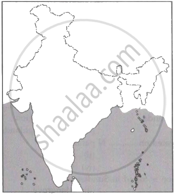
- Lakshadweep Islands
- Coromandel Coast
- Gulf of Khambhat
- Any Major Port
- Thar Desert
- Palk Strait
Advertisements
उत्तर

APPEARS IN
संबंधित प्रश्न
Give Reasons:
North Indian Rivers are perennial.
Give Reasons:
The river Godavari is often referred as Vridha Ganga.
Give a detailed account on the basin of the Ganga.
The Indus river flows into Pakistan through ______.
River Ganga is known as the river ______ in Bangladesh.
The deltaic region of lower Ganga, the uplands are known as ______.
The Gangetic plain was formed due to ______.
Answer the following in paragraph:
“Unity in Diversity”, Explain.
Write answer in one sentence-
Which is the west-flowing river in the central part of India?
Answer the following in detail.
Name the water divide spanning from north to south in India. Which mountain ranges are a part of it ? How does this water divide affect the precipitation in India ?
