Advertisements
Advertisements
प्रश्न
Mark the following in the outline map of India. Write the names and given index.
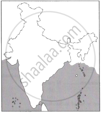
- Lakshadweep Islands
- Coromandel Coast
- Gulf of Khambhat
- Any Major Port
- Thar Desert
- Palk Strait
Advertisements
उत्तर

APPEARS IN
संबंधित प्रश्न
Choose the right answer from the alternative given below.
Which one of the following describes the drainage patterns resembling the branches of a tree?
Match the following:
| 1. | Tsangpo | Tributary of River Ganga |
| 2. | Yamuna | Highest peak in India |
| 3. | New alluvium | River Brahmaputra in Tibet |
| 4. | Mt. Godwin Southern part of East Austen (K2) | Coastal Plain |
| 5. | Coromandel Coast | Khadar |
Give a detailed account on the basin of the Ganga.
The largest tributary of the Ganga is ______.
Name the largest river of the Indian Ocean.
The deltaic region of lower Ganga, the uplands are known as ______.
The ______ river system is the largest drainage system of India.
The ______ is known as Sorrow of Bihar.
On an outline map of India mark and label the following rivers: Ganga, Satluj, Damodar, Krishna, Narmada, Tapi, Mahanadi, and the Brahmaputra.
On an outline map of India mark and label the following lakes: Chilika, Sambhar, Wular, Pulicat, Kolleru.
