Advertisements
Advertisements
Devbhoomi (Uttarakhand)
Concept: Physical Division of India> The Himalayas
Amazon is a large river in the world. Near its mouth ______.
Concept: Drainage of Brazil
Write geographical reasons.
As compared to Amazon, pollution in river Ganga will affect human life greatly.
Concept: Drainage of Brazil
Match the items in Column 'A' with those in Column 'B' :
| Column 'A' | Column 'B' | ||
| (i) | K - 2 | (a) | Zaskar Range |
| (ii) | Manasarovar | (b) | Heavily glaciated |
| (iii) | The Karakoram | (c) | Source of river Indus |
| (d) | The second highest peak in the world |
Concept: Physical Division of India> The Himalayas
Write the short note on:
Origin of Himalayas.
Concept: Physical Division of India> The Himalayas
Answer the following questions :
What are the characteristics of tourism in the Himalayan region?
Concept: Physical Division of India> The Himalayas
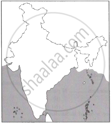
Mark the following in the outline map of India. Write the names and given Index:
1. Palk Strait;
2. Purvanchal;
3. Lakshadweep;
4. Rajasthan Dessert.
Concept: Physical Division of India> The Himalayas
Brazil has a coastline of ______ km.
Concept: Physical Division of Brazil> The Coasts
Briefly explain the drainage of Brazil by three major river basins.
Concept: Drainage of Brazil
With the help of the given statistical data prepare a simple bar graph and answer the following questions.
| Ganga River | Amazon River | |
| Total catchment area (in sq.km) | 10,16,124 | 70,50,000 |
| The total length of the river (in km) | 2,525 | 6400 |
| Water discharge (Cu.m. per sec) | 16,648 | 2,09,000 |
- What is the total length of the river Ganges?
- What is inferred from the graph?
- What can be said about the water discharge of the Amazon river?
Concept: Drainage of India
The southern part of Brazil is covered by ______.
Concept: Physical Division of Brazil> The Highlands
State whether the sentence is right or wrong. correct the wrong ones and rewrite the sentence.
The plains forming the source of Paraguay and Parana rivers is located to the southwest part of the Brazilian highlands.
Concept: Physical Division of Brazil> The Highlands
State whether the sentences are right or wrong. Correct the wrong ones and rewrite the sentence.
The Great Escarpment is located in the northern part of Brazil.
Concept: Physical Division of Brazil> The Great Escarpment
Answer the following in detail.
Name the water divide spanning from north to south in India. Which mountain ranges are a part of it ? How does this water divide affect the precipitation in India ?
Concept: Drainage of India
Give geographical reason.
Part of Brazil is called drought quadrilateral.
Concept: Physical Division of Brazil> The Great Escarpment
Give geographical reason.
The peninsular rivers don't face the problem of flood.
Concept: Drainage of India
Mark the following in the outline map of India. Write the names and given index.
- Lakshadweep Islands
- Coromandel Coast
- Gulf of Khambhat
- Any Major Port
- Thar Desert
- Palk Strait
Concept: Drainage of India
Give geographical reasons.
Tropical cyclones rarely visit the coasts of Brazil.
Concept: Physical Division of Brazil> The Coasts
Give geographical reasons.
The rivers in Brazil do not flow in the west direction.
Concept: Drainage of Brazil
Give geographical reasons.
Very dense forests are found around the region of the Amazon river.
Concept: Drainage of Brazil
