Advertisements
Advertisements
प्रश्न
On the outline map of Europe, use different colours to mark and label the following:
- Oceans—Arctic, Atlantic
- Seas—Mediterranean, Baltic, North Sea
- Straits—Dover, Gibraltar
- Plateau—Central Massif, Meseta
- Mountains—Alps, Pyrenees, Carpathians
- Rivers—Danube, Rhine, Volga
- Lakes—Ladoga, Onega, Vanern
- Capitals—Paris, Moscow, Berl
Advertisements
उत्तर

APPEARS IN
संबंधित प्रश्न
The Scandinavian coutnries are generally considered to have a separate cultural identity. Form groups in your class and search the Internet to gather information on these countries and then hold a discussion under the following points.
- employment
- education
- law and order
- care for the aged
Choose the correct answer:
The strait that separates Europe from Africa is the
Give geographical reasons:
People faced many difficulties while exploring Africa.
Give geographical reasons:
The rivers of Africa are not very suitable for navigation in their lower course.
How is the vegetation of the Mediterranean region able to withstand the summer drought conditions?
Explain how relief features, winds, and ocean currents affect the climate of Europe.
Give geographical reasons:
Not much wildlife is found in the Mediterranean region of Africa.
Describe the Mediterranean climate.
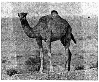
What kind of vegetation grows in such a climate shown in the picture?
Why is the wildlife of Australia considered unique in comparison to other countries?
