Advertisements
Advertisements
प्रश्न
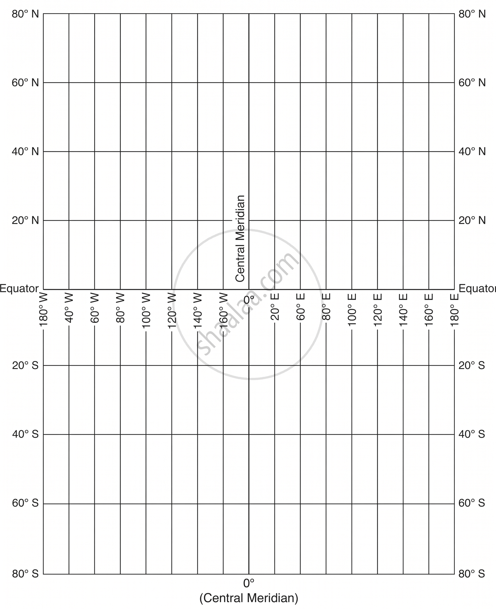
Draw a Mercator Projection for the world map when the R.F. is 1:400,000,000 and the interval between the latitude and longitude is 20º.
कृति
Advertisements
उत्तर
- Radius of the Earth (R): \[\frac{640,000,000}{400,000,000} = 1.6\text{ cm}\]
- Length of Equator: \[2\pi R = 2 \times \frac{22}{7} \times 1.6 \approx 10.06\text{ cm}\]
- Spacing between Meridians: \[\frac{\text{Length of Equator} \times \text{Interval}}{360^\circ} = \frac{10.06 \times 20^\circ}{360^\circ} \approx 0.56\text{ cm}\] (dividing the equator into 18 equal parts)
- Spacing of Parallels: Calculated using the formula \[2.3026 \times R \times \log_{10}[\tan(45^\circ + \frac{\theta}{2})]\]:
- 20°: 0.57 cm
- 40°: 1.22 cm
- 60°: 2.11 cm
- 80°: 3.90 cm
shaalaa.com
क्या इस प्रश्न या उत्तर में कोई त्रुटि है?
