Advertisements
Advertisements
प्रश्न
Explain the importance of satellite communication in India
Discuss the importance of the following in the present day life:
Satellites
स्पष्ट करा
दीर्घउत्तर
Advertisements
उत्तर
Importance of satellite communication:
- Communication through satellites emerged as a new era in the system of communication in our country.
- The use of satellites in getting a continuous and synoptic view of the larger areas has made this communication system very vital for the country.
- Satellite images are used for weather forecasting.
- Monitoring of natural calamities.
- Surveillance of border areas.
- India’s Indian National Satellite System (INSAT) and Remote Sensing Satellite System (IRS) support multipurpose functions like telecommunication, meteorological observation, and remote sensing for agriculture, disaster management, and environmental monitoring.
- They are used for relaying signals to television, telephone, radio, and mobile phone.
- They are also useful in weather detection, internet, and military applications.
shaalaa.com
या प्रश्नात किंवा उत्तरात काही त्रुटी आहे का?
संबंधित प्रश्न
Match the following:
| A | B | ||
| 1. | Trans Amazonian route | a. | Tourist spot |
| 2. | Road transportation in India | b. | Railway station in India |
| 3. | Rio de Janerio | c. | Golden quadrilateral highway |
| d. | Important transport route of Brazil |
What is communication?
The National Remote sensing Centre(NRSC) is located at ______.
What is communication? What are its types?
Distinguish between Personal communication and mass communication.
The multi-purpose satellite system for telecommunication is ______ - INSAT.
This world has been shrunk since the introduction of the ______.
Write the full form of STD, ISD, PCO, Internet.
Write a short note on the Internet.
Study the map given in the figure and answer the following questions.
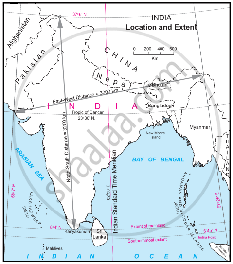
- Calculate the difference between the two longitudinal extremes of mainland India. Is it more than Brazil?
- Which longitude in India is called the Indian Standard Time (IST)?
- What is the difference between this time and the GMT?
- How many local times are there in India?
