Advertisements
Advertisements
प्रश्न
Answer the following question briefly.
What is meant by a water divide? Give an example.
Advertisements
उत्तर
Any elevated area, such as a mountain or an upland, which separates two drainage basins is known as water divide; for example, the water divide between the Indus and the Ganga river systems. Ambala is located on this water divide. The Western Ghats form the main water divide in Peninsular India.
संबंधित प्रश्न
Choose the right answer from the alternative given below.
Which one of the following describes the drainage patterns resembling the branches of a tree?
Match the following:
| 1. | Tsangpo | Tributary of River Ganga |
| 2. | Yamuna | Highest peak in India |
| 3. | New alluvium | River Brahmaputra in Tibet |
| 4. | Mt. Godwin Southern part of East Austen (K2) | Coastal Plain |
| 5. | Coromandel Coast | Khadar |
Give Reasons:
North Indian Rivers are perennial.
River Ganga is known as the river ______ in Bangladesh.
Name the part of the Himalayas lying between the Kali and Tista rivers.
The deltaic region of lower Ganga, the uplands are known as ______.
When did the Suez Canal start functioning and how did it benefit India?
On an outline map of India mark and label the following rivers: Ganga, Satluj, Damodar, Krishna, Narmada, Tapi, Mahanadi, and the Brahmaputra.
With the help of the given statistical data prepare a simple bar graph and answer the following questions.
| Ganga River | Amazon River | |
| Total catchment area (in sq.km) | 10,16,124 | 70,50,000 |
| The total length of the river (in km) | 2,525 | 6400 |
| Water discharge (Cu.m. per sec) | 16,648 | 2,09,000 |
- What is the total length of the river Ganges?
- What is inferred from the graph?
- What can be said about the water discharge of the Amazon river?
Mark the following in the outline map of India. Write the names and given index.
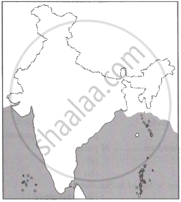
- Lakshadweep Islands
- Coromandel Coast
- Gulf of Khambhat
- Any Major Port
- Thar Desert
- Palk Strait
