Advertisements
Advertisements
प्रश्न
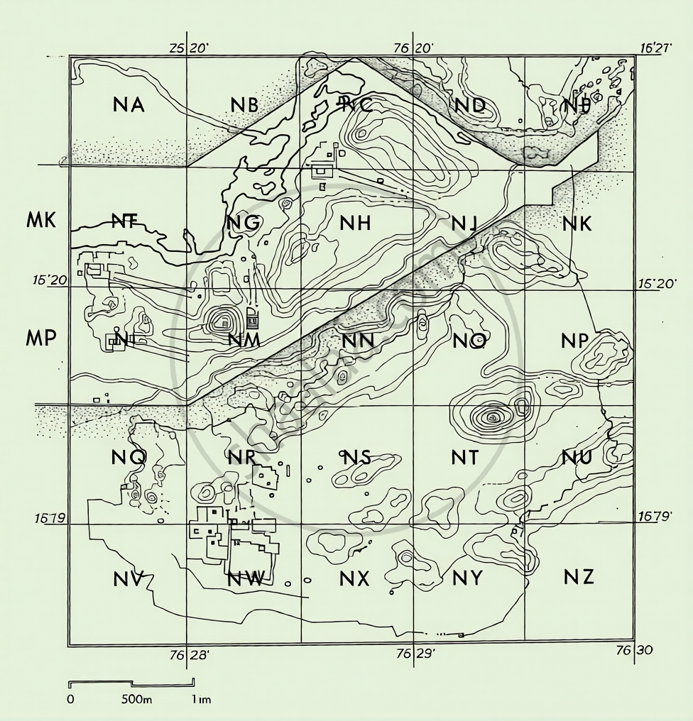
What is the scale used on this map?
कृति
Advertisements
उत्तर
The scale used on this detailed map is a Graphical Scale (or Linear Scale), where:
- The total side of the main grid box (Square N) represents exactly 1 kilometre (1,000 meters) on the ground.
- The interior area is further subdivided into a smaller grid mesh, where each individual small square side represents precisely 100 meters on the ground.
shaalaa.com
क्या इस प्रश्न या उत्तर में कोई त्रुटि है?
