Advertisements
Advertisements
प्रश्न
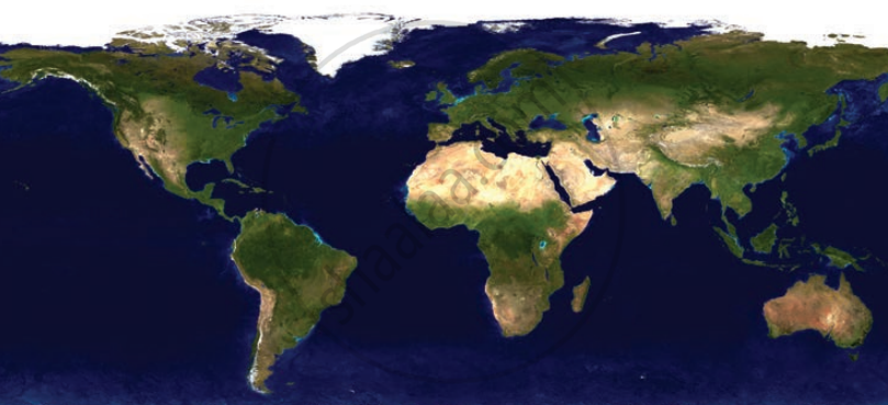
What do you think each of the different colours in the map in Fig. represents?
Since this chapter is about world geography, we are concerned with physical maps. Physical maps have their own language that use colours.
Blue: water bodies (oceans, seas, lakes, rivers); Green: plains; Yellow/Brown: plateaus; Dark brown: high mountains; Light yellow: deserts; White: ice and glaciers
Advertisements
उत्तर
The colours used on physical maps help us identify different landforms and water bodies. Blue represents water bodies such as oceans, seas, lakes, and rivers. Green shows plains, which are low and flat areas. Yellow or brown indicates plateaus, which are raised and relatively flat regions. Dark brown is used for high mountain ranges. Light yellow represents dry and arid desert regions. White shows areas covered with ice and glaciers, mainly found in polar regions and on high mountains.
